
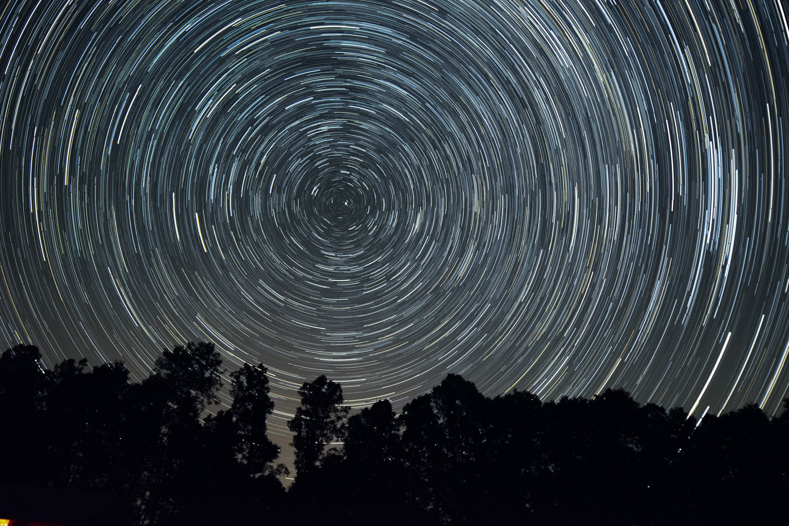
Just as we use latitude and longitude to know the precise position of something on Earth’s surface, it’s useful to have a system for knowing the position of objects in the heavens. The widely used system of right ascension and declination does the job — and dates back at least to the time of Hipparchus (circa 190–120 b.c.e.).
But one of the hardest parts of getting started in astronomy is comprehending that celestial coordinate system. Rather than looking down at a globe with fixed landmarks, beginners are looking outward to an unfamiliar, ever-shifting sky. So to get an understanding of the celestial sphere, let’s compare to Earth.
On Earth, latitude describes the distance north and south of the equator, in degrees of a circle, from 0 to 90. Longitude describes the distance east and west of the prime meridian, which runs through the Royal Observatory in Greenwich, U.K., and extends 180° in either direction. The equator marks 0° latitude, while the North and South poles are situated at 90° north and 90° south. Columbus, Ohio, sits on the 40° north latitude line; 115° west longitude runs right through Las Vegas, while 140° east crosses Tokyo.
Declination (or Dec. for short) is similar to latitude, but projected onto the sky, with ±90° being the North and South celestial poles, respectively, and 0° at the celestial equator. Mintaka, the westernmost star of Orion’s Belt, sits very close to 0° declination, while the Andromeda Galaxy (M31) lies at 41°. From midnorthern latitudes (around 40° north), objects with a declination of –50° will just peek their noses above the southern horizon, while objects at 50° or higher are circumpolar, or visible above the horizon all night. Declination values are subdivided into arcminutes (‘) and arcseconds (“), where there are 60 arcminutes in 1 degree, and 60 arcseconds in 1 arcminute.
RELATED: Michael’s Miscellany: Coordinates
Right ascension (R.A. for short) is similar in concept to longitude, with lines that originate at the celestial poles, but is instead measured in hours, minutes, and seconds. Imagine the sky as a clock, where it takes 24 hours for a particular point to make one complete revolution; since each day is approximately 24 hours, one hour of right ascension is 1/24 of a 360° circle, or 15°. The “prime meridian” of right ascension is the location of the Sun on the vernal equinox, which is currently located in Pisces. The Andromeda Galaxy is near this 0h line; on the opposite side, the Sombrero Galaxy (M104) lies near 12h.
In astronomy, the meridian refers specifically to the imaginary line that connects the North and South celestial poles through the zenith, the point directly overhead from your location. A helpful reference to know is the time an object crosses the meridian, also known as its transit time. In the Northern Hemisphere, objects with right ascensions between 04h and 09h cross at midnight in winter (December through February), 10h to 15h cross at midnight in springtime (March through May), 16h through 21h transit in summertime (June to August), and 22h to 03h transit in autumn (September through November).
Now, unlike Earth coordinates, celestial coordinates slowly change position over time due to precession, or the wobble of Earth’s axis. In 2000, the Orion Nebula (M42) was located at R.A. 05h35m17s, Dec. –05°23’28”, but in 2050, it will have shifted slightly to R.A. 05h37m44s, Dec. –05°21’40”. Object locations are referred to by epoch; J2000 is the currently used reference, but will eventually be updated to the J2050 system.
As you observe more, you will start to get a feel for where the different coordinates are on the sky, and you will soon be able to estimate where to find a given galaxy or comet based on its coordinates. Then you can amaze your friends with your celestial navigational skills!
Molly Wakeling is an avid astrophotographer active in STEM outreach. She has a Ph.D. in nuclear engineering.


