Astronomy Magazine – Your source for the latest news on astronomy, observing events, space missions, and more.
Top Stories

Picture of the Day
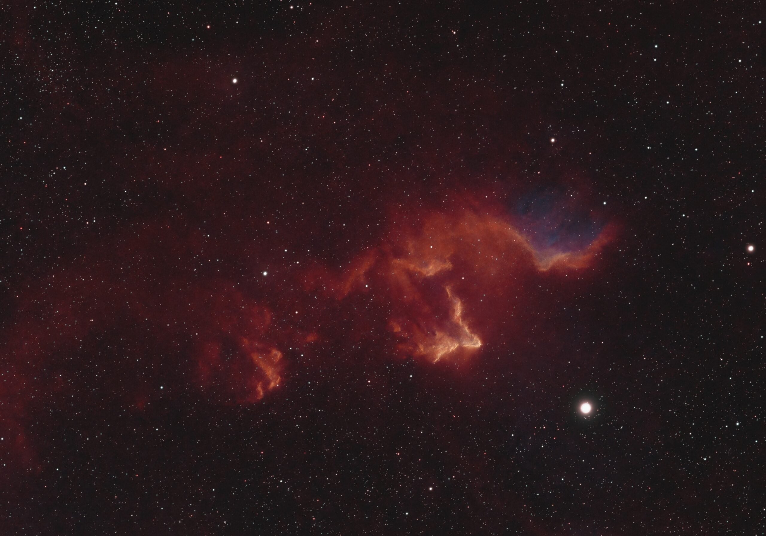
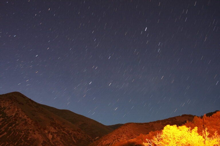
In hiding
Andrei Pleskatsevich, taken from Minsk, Belarus
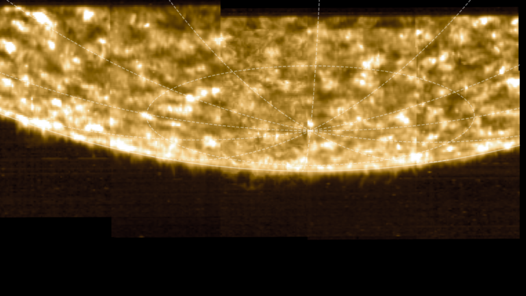
The reflection nebula IC 63 lies near the star Navi (Gamma [γ] Cassiopeiae). Through a telescope, the object often appears to be concealed by the star’s glare, inspiring its common nickname, the Ghost of Cassiopeia. This imager took 5 hours of exposure with a 3-inch scope.
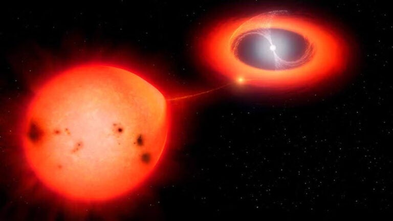
More News

June 2025
- How Johannes Kepler wrote the first science-fiction story
- How one astrophotographer learned to love the northern lights
- Explore the celestial motions of the Moon
- Delights to observe in the Southern Hemisphere sky
Product Recommendations
-
New arrivals
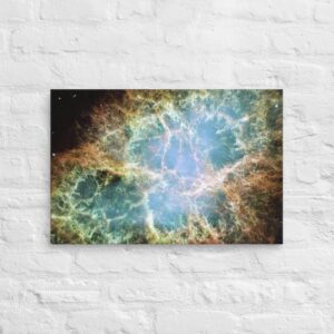
The Crab Nebula Canvas
-
Gifts & Toys
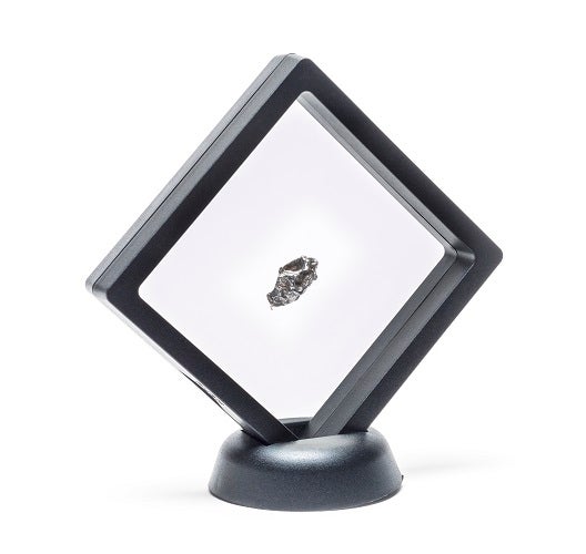
Campo del Cielo Meteorite
-
Globes & Maps
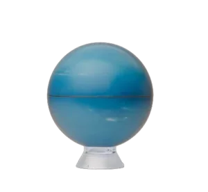
6-Inch Neptune Globe
-
Gifts & Toys
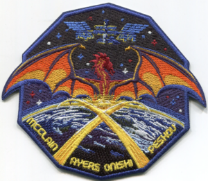
NASA SpaceX Crew 10 Mission Patch
-
STEM Toys
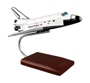
Atlantis Orbiter 1/144 Model
-
Globes & Maps
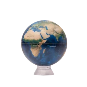
6" Earth Globe
-
Gifts & Toys
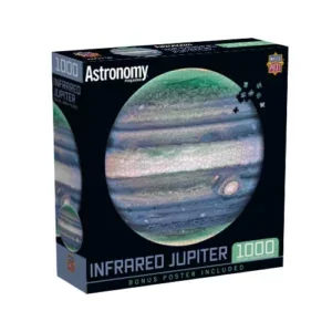
Infrared Jupiter Puzzle
-
Apparel
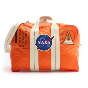
NASA Kit Bag
-

Apparel
Artemis Program Addidas Quarter zip pullover
-

Apparel
Astronomy Magazine Under Armour® men's polo
-
Apparel
NASA Embroidered Unisex Hoodie
Popular Explorations
-
 Observing
2027 Egypt 12-Night Total Solar Eclipse Tour with Nile Cruise
-
 Observing
2026 Morocco, Portugal, & Spain 17-Night Total Solar Eclipse Tour
-
 Observing
2027 Jordan & Egypt 13-Night Total Solar Eclipse Tour
-
 Observing
2026 Iceland 7-Night Total Solar Eclipse Tour
-
 Observing
2026 Portugal & Spain 15-Night Total Solar Eclipse Tour
-
 Observing
2026 Spain 9-Night Total Solar Eclipse Tour
-
 Observing
2027 Egypt 8-Night Total Solar Eclipse Tour
-
 Observing
2027 Egypt Pre-Eclipse Turkey Extension: Istanbul & Cappadocia