Scientists scouting potential landing sites for NASA’s next Mars rover mission are using new data from a powerful mineral-mapping camera to narrow the site selection.
When NASA Mars Program officials and members of the Mars science community gather in California next week to pare down the list of candidate landing sites for the 2009 Mars Science Laboratory (MSL), they can refer to 125 new images from the Compact Reconnaissance Imaging Spectrometer for Mars (CRISM).
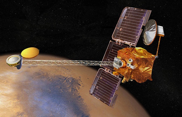
Built and operated by the Johns Hopkins University Applied Physics Laboratory (APL) in Laurel, Maryland, CRISM is one of six science instruments on NASA’s Mars Reconnaissance Orbiter, currently circling the planet.
“Since MSL will assess whether Mars ever had an environment capable of supporting life, it will have to land in an area with a mineral record indicative of past water,” says Scott Murchie, CRISM principal investigator from APL. “CRISM is critical to the selection process because it is the only instrument on MRO with the spectral power to ‘see’ the chemical makeup of the rocks.”
One of CRISM’s main mission objectives is to find and investigate areas that were wet long enough to leave a miner al signature. Offering greater capability to map spectral variations than any similar instrument sent to another planet, CRISM can read 544 “colors” of reflected sunlight to detect minerals in the surface.
The imaging spectrometer is among MRO’s cadre of advanced sensors studying Mars in unprecedented detail and contributing to the MSL landing site selection effort. This includes correlating CRISM’s spectral data with high-resolution pictures of boulders, craters, sediment layers and other surface features acquired by the High Resolution Imaging Science Experiment (HiRISE) and Context Camera (CTX). “CRISM images provide the scientific criteria that will allow the MSL team to narrow its choices,” Murchie says. “By combining data from the MRO instruments, we can create a complete picture of the Martian surface.”
The CRISM data release consists of user-friendly, color-coded, thematic images. Different versions of each image show clays, sulfates, and unaltered minerals that help tell the story of past water and volcanic processes on Mars. The set also includes infrared images of surface brightness and enhanced visible-color composites. Each image covers a square area roughly 6 miles (10 kilometers) on a side, with a spatial resolution of approximately 66 feet (20 meters) per pixel.
“The data products that we have generated for all the proposed MSL landing sites are scaled in a similar manner. This should make it easy for scientists and the public alike to distinguish between landing sites that possess a wide range of rock types, from ones that do not,” says APL’s Olivier Barnouin-Jha, who with Frank Seelos (also of APL) assembled the products in this release. “Going to a location with greater rock diversity will ensure that MSL significantly enhances our understanding of the geological history of Mars, including the history of water.”
CRISM has mapped more than half the planet in its low-resolution mode since November 2006, in addition to making more than 2,500 high-resolution observations of the surface and nearly 3,000 atmospheric observations.


