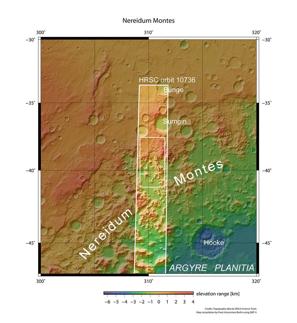
The stunning rugged terrain of Nereidum Montes marks the far-northern extent of Argyre, one of the largest impact basins on Mars. Nereidum Montes stretches almost 715 miles (1,150km) and was named by the noted Greek astronomer Eugène Michel Antoniadi (1870–1944).
Based on his extensive observations of Mars, Antoniadi famously concluded that the “canals” on Mars reported by Percival Lowell were, in fact, just an optical illusion.
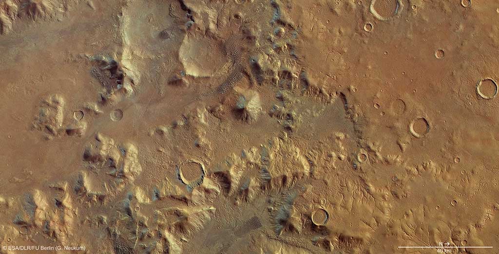
The images captured by Mars Express show a portion of the region that displays multiple fluvial, glacial, and wind-driven features.
On Earth, treelike channels of this kind are usually formed by surface runoff after significant rainfall, or when snow or ice melts. Similar processes are thought to have occurred on Mars in the distant past.
Several of the craters within the region, particularly in the eastern parts, show concentric crater fill, a distinctive martian process marked by rings of surface fluctuations within a crater rim.
The ratios between the diameter and depth of the filled craters suggest that there may still be water ice, possibly in the form of ancient glaciers, present below the dry surface debris cover. Scientists have estimated that the water-ice depth in these craters varies from several tens up to hundreds of meters.
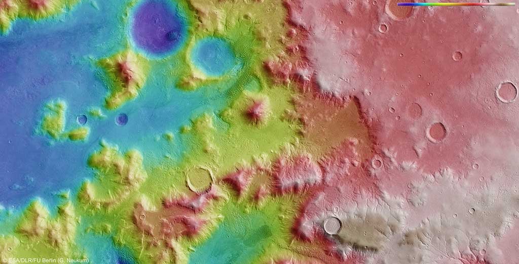
Another indication of subsurface water is seen in the fluidized ejecta blanket surrounding the crater at the northern edge. These ejecta structures can develop when a comet or asteroid hits a surface saturated with water or water ice.
Finally, throughout the images and often near the wind-sheltered sides of mounds and canyons, extensive rippling sand dune fields are seen to have formed.
In-depth studies of regions such as Nereidum Montes play an essential role in unlocking the geological past of our terrestrial neighbor, as well as helping to find exciting regions for future robotic and human explorers to visit.