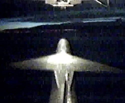
NASA’s Interstellar Boundary Explorer (IBEX) mission successfully launched from the Kwajalein Atoll in the Pacific Ocean at 1:47 p.m. EDT, Sunday. IBEX will be the first spacecraft to image and map dynamic interactions taking place in the outer solar system.
The spacecraft separated from the third stage of its Pegasus launch vehicle at 1:53 p.m. and immediately began powering up components necessary to control onboard systems. The operations team is continuing to check out spacecraft sub-systems.
“After a 45-day orbit raising and spacecraft checkout period, the spacecraft will start its exciting science mission,” said IBEX Mission Manager Greg Frazier of NASA’s Goddard Space Flight Center in Greenbelt, Maryland.
Just as an impressionist artist makes an image from countless tiny strokes of paint, IBEX will build an image of the outer boundary of the solar system from impacts on the spacecraft by high-speed particles called energetic neutral atoms. These particles are created in the boundary region when the 1-million miles per hour (1.6-million kilometers per hour) solar wind blows out in all directions from the Sun and plows into the gas of interstellar space. This region shields many of the dangerous cosmic rays that would flood the space around Earth.
“No one has seen an image of the interaction at the edge of our solar system where the solar wind collides with interstellar space,” said IBEX Principal Investigator David McComas of the Southwest Research Institute in San Antonio. “We know we’re going to be surprised. It’s a little like getting the first weather satellite images. Prior to that, you had to infer the global weather patterns from a limited number of local weather stations. But with the weather satellite images, you could see the hurricanes forming and the fronts developing and moving across the country.”