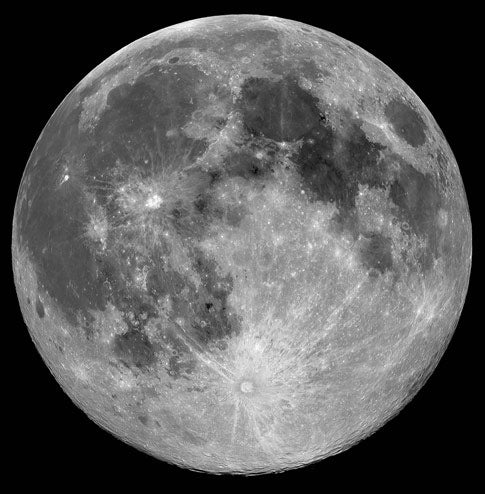
T he combination of high-resolution data from SMART-1’s AMIE micro-camera and data from the U.S. Clementine mission is helping scientists determine the tectonics of the Moon’s giant basins and the history of volcanic flooding of mid-sized craters, inside and around the lunar basins.
“Thanks to low-elevation solar illumination on these high resolution images,” says SMART-1 Project Scientist Bernard Foing. “It is now possible to study fine, small scale geological features that went undetected earlier.”
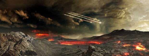
The study provides new information on the thermal and tectonic history of the Moon and the processes following the formation of the large basins. There are approximately 50 recognizable lunar basins more than 300 kilometers in diameter believed to be created by the impact of asteroids or comets during the Lunar Late Heavy Bombardment period (between 350 and 750 million years after the formation of the Moon). Some of these basins were then filled by lava originating from volcanic activity.
Combining information from SMART-1 and Clementine makes it possible to assess the link between fine geological structures, identified for the first time with AMIE’s high resolution, and the area’s chemical composition.
The Procellarum basin, or Oceanus Procellarum, is a large, extended, complex basin that is moderately thick and shows no mass concentration. It may have been formed by faulting associated with the formation of the adjacent Imbrium crater (3.84 thousand million years ago), rather than by a gargantuan impact.
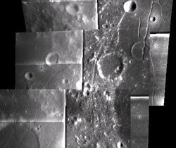
The Humorum basin shows concentric graben, or elongated, trench-like erosional features around the edge of the basin. These are formed as the crust is deformed due to the presence of a mascon, or mass concentration.
“Lunar crust is like a fragile skin, wrinkled due to local mascons or its thermal history”, Foing says. “We searched for these skin-imprints but some may be masked underneath the latest basalt layers”
For the first time, strike-slip faults have been observed with SMART-1 in the Humorum basin. These are faults where the rupture is vertical and one side slides past the other. An example is the San Andreas fault along the western United States, however there is no multi-plate tectonic activity on the Moon.
Procellarum is an extended basin, where magma has arisen from under the surface, between 4 and 2 thousand million years ago, as the crust is thin enough. SMART-1 images do not show geological faults, or surfaces where the rock ruptures due to differential movement, in the Procellarum basin.
It however shows wrinkle ridges that are not distributed radially around the basin. Due to their location, they do not seem associated with mascon tectonics, but mostly are results of thermal and mechanical deformation resulting from volcanic activity — basalt extruded by the lava causes compression in the area. The Procellarum basin contains the youngest basalt found on the Moon so far, up to 2 thousand million years old.
Different pulses of volcanic activity in lunar history created units of lava on the surface. The flooding of mid-sized craters with lava due to volcanic activity in the region is reflected in the mineralogical map. Differences in the mineralogical composition provide a tool to study the geological history of the region. Flooded and unflooded craters are found in the region, reflecting the evolution of volcanic activity with time.
“This analysis shows the potential of the AMIE camera,” says Jean-Luc Josset, Principal Investigator for the AMIE camera. “We are still analyzing other datasets that make use of the varying illumination conditions during the operation of SMART-1 over one and half years.”