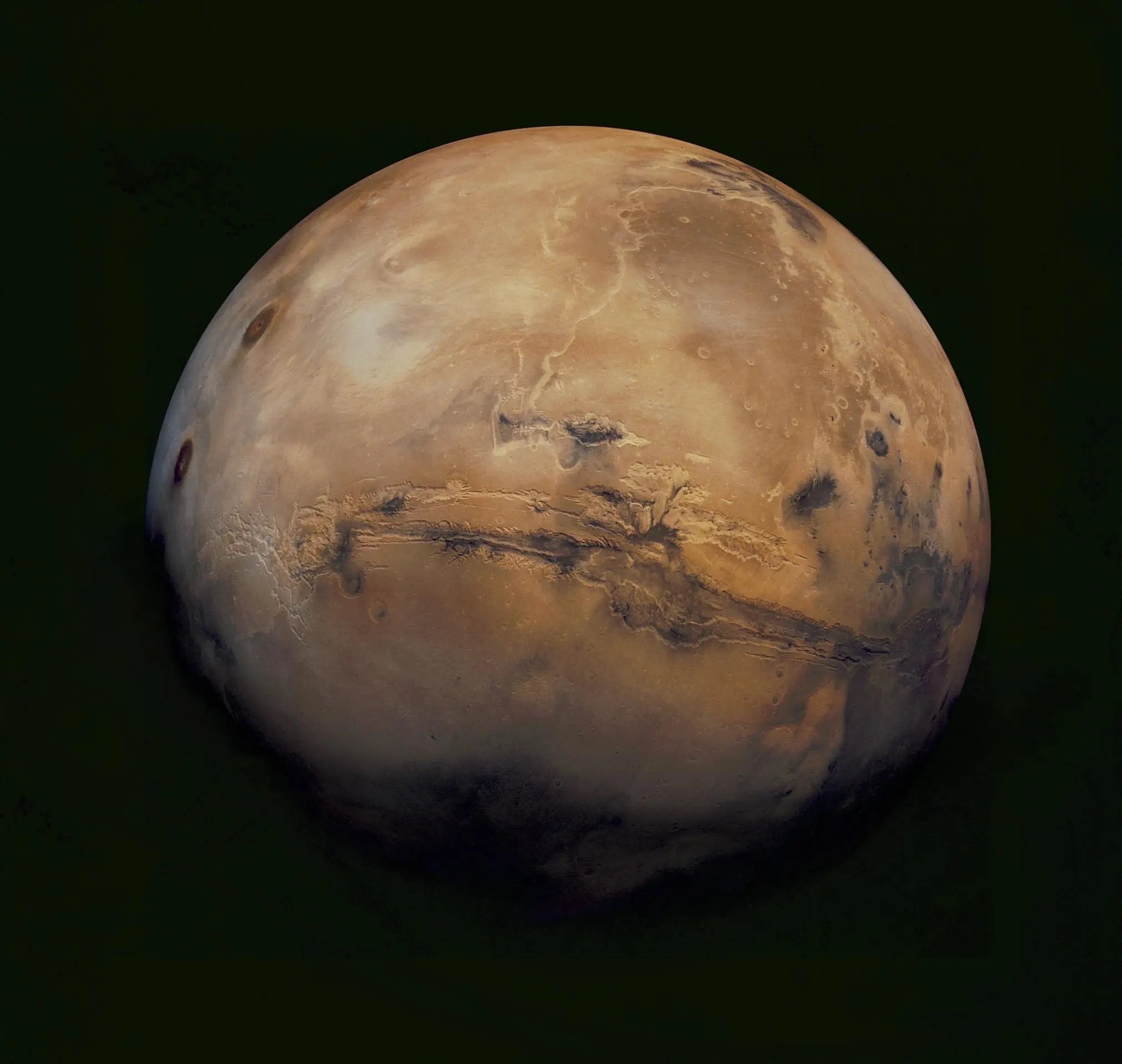
For the first time, scientists have found that water ice lies at variable depths over small-scale patches on the Red Planet. The discovery draws a much more detailed picture of underground ice on Mars than was previously available. The new results appear in the May 3, 2007 issue of the scientific journal Nature.
“We find the top layer of soil has a huge effect on the water ice in the ground,” says Joshua Bandfield, a research specialist in Arizona State University’s School of Earth and Space Exploration and sole author of the paper. His findings come from data sent back to Earth by the Thermal Emission Imaging System (THEMIS) on NASA’s Mars Odyssey orbiter.
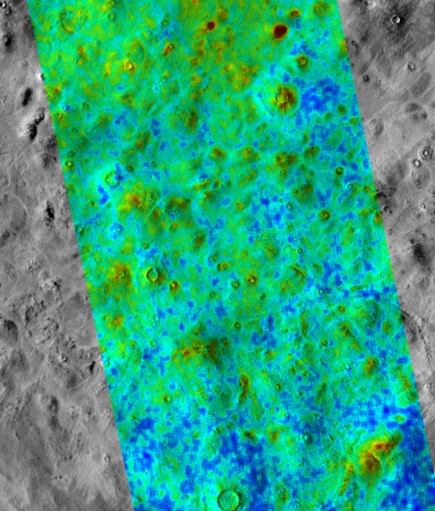
THEMIS is a sophisticated camera that takes images in 5 visual bands and 10 heat-sensing (infrared) ones. At infrared wavelengths, the smallest details THEMIS can see on the surface are 330 feet (100 meters) wide.
The new results were made using infrared images of several Martian sites, each at latitude 60 to 70 degrees, north and south. “These sites are in regions where subsurface water ice is known to exist,” Bandfield says.
He explains that water ice lying at shallow depths was first detected and mapped by the Gamma Ray Spectrometer (GRS) suite of instruments, also on Mars Odyssey. But, as Bandfield notes, “the smallest patches detectable by GRS are 300 miles, or 500 kilometers, wide.” The new work shows that THEMIS’ heat-sensing capability gives scientists a much sharper tool to hunt for buried ice.
“Scientists have known for more than a decade that water is on Mars, mostly in the form of ice,” says Philip Christensen of ASU’s Mars Space Flight Facility. Christensen, a Regents’ Professor of geological sciences at ASU, designed THEMIS, but did not participate in this research. “What’s exciting is finding out where the ice is in detail and how it got there. We’ve reached the next level of sophistication in our questions.”
Christensen adds, “GRS can probe a meter deep, but it has a giant footprint. Most infrared spectrometers can detect surface ice and ice a few fractions of a millimeter down. THEMIS is sensitive to thermal waves which can penetrate several inches deep — and it can spot details the size of a football field.”
Bandfield’s approach used THEMIS as a thermometer to measure how fast the ground changed temperature during local spring, summer, and fall at the sites. The nature of the surface soil, he says, “makes a big difference in how deep the ice is.”
Computer models helped him interpret the temperature observations, he says. “They show areas where water ice would be only an inch or so under the soil, while in other areas ice could lie many feet below the surface.”
Bandfield notes the results fit long-term climatic models for Mars. These show the planet has been both warmer and colder in the past, similar to glacial
cycles on Earth.
He says, “The fact that ice is present near the depth of stability in the current Martian climate shows that the ground ice is responding to climate cycles.” In turn, he adds, this implies that water ice in the ground can swap places with water vapor in the atmosphere as the climate changes.
Bandfield concludes, “The THEMIS measurements support an active water cycle on Mars such as other research has predicted.”
“This work has improved our understanding of the water cycle as part of the ongoing exploration of Mars,” says Christensen.
In August 2007, NASA will launch Phoenix, a mission designed to sample Martian ground ice directly. The Phoenix spacecraft is a non-roving lander that will go to a high-latitude site in Mars’ northern hemisphere. Upon landing, it will expose buried ice by scraping away the soil. After collecting a sample of icy soil, Phoenix will analyze its qualities as a possible habitat for microbial life.
Says Bandfield, “The take-home message for the Phoenix Lander is that the THEMIS results show a lot of patchiness in the ground ice, and this should continue down to smaller and smaller scales.”
Phoenix, he adds, “may find ground ice is shallower and much easier to reach in some spots than in others.”